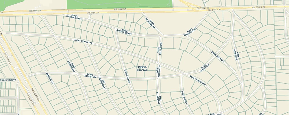
GIS is one of the integral parts of a land survey, GIS data helps in understanding the features and characteristics of a terrain better. A land survey is needed whenever any project/ construction is about to happen on a piece of land. With the land survey, various information about the land like height, soil type, features around the land etc are revealed. Information obtained from a GIS land survey helps to design a better, smarter and futuristic construction.
Ansimap offers Land Information Systems (LIS) solutions and services to the State Governments, Municipalities, Local Development bodies, Urban & Town Planning Institutions, Agriculture and Forestry Departments for effective land use planning and implementation of Land Policies, Bye-laws and Regulations.
As an end-to-end solution provider, Ansimap facilitates additional consulting services, data services and implementation of commercial off-the-shelf products that integrates business data throughout your organization, covering all your needs.
Ansimap helps you to visualize and understand datasets and information for key assets, installations, property and infrastructure that allows organizations, such as yours, to make better and faster decisions.