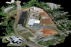
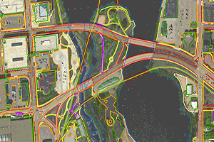
UAV (Unmanned Aerial Vehicle) , a new technology in surveying, Ortho photo production, 3D modelling and feature extraction possibilities.Due to the massive simplification of the data acquisition stage, compared with conventional methods of aerial capture, the costs involved have been drastically reduced.
We offer a cost effective and high quality UAV services consistently. We have successfully executed several UAV mapping projects in India and data processing projects for our international clients.
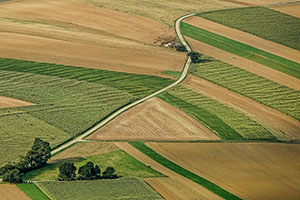
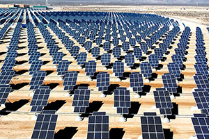
Surveying and mapping have been essential components for efficient and accurate planning, execution and maintenance of assets in sectors like infrastructure development, mining, urban development/planning, irrigation, energy and precision agriculture.
From agriculture to smart cities and construction to surveying, drone technology is increasingly being deployed to boost efficiency and productivity.


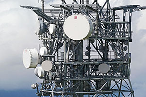
Drone inspection is more cost-effective than using ground crews or traditional aerial patrolloing using a helicopter. A drone can hover around and get clear 360-degree assessments remotely.


Ansimap have experience in the professional surveying industry, now specializing in UAV data processing and delivers high quality true ortho photo, Contours / DEM / DTM / DSM and city-wide 3d model to use for a range of urban planning, commercial, utilities, environmental, agriculture and governance requirements.
Let us know if you have any interesting project and want to discuss? We will help you with optimal solutions.