ANSIMAP provides a full spectrum of Geographic Information Systems (GIS) Mapping & development services ranging from GIS consulting, GIS application development, geospatial database management, information systems design, and web mapping and imaging services.
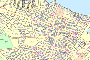
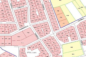
Our services include land cover mapping, utility mapping, tax parcel mapping - preparing data for computer assisted mass appraisal systems, road network mapping for street navigation systems, street centreline mapping, contour digitization for terrain analysis, orthophotographs rectification, flood insurance rate mapping, soil and land use for agriculture, wetlands, airport, highway and rail mapping.
GIS data conversion is a process of converting raster images data to digital gis format. With large amounts of geographic data available for use, it is more cost-effective to convert the data from one format to another than re-create it.
We use the industry standard software and deliver the high quality output in various formats such as DWG, DGN, SHP, and MDB etc., as per the client requirements.
ANSIMAP offers organizations comprehensive database design and development services. These services include initial database design, conceptual data modeling, physical data modeling, and database implementation.
We create and organize Geo-databases and work with users to ingest these database services into “seamless” GIS geo-databases and geo-metadata that can form the back-bone of GIS solutions of any organization.
ANSIMAP provides end-to-end customer-centric GIS Application Development Services to Government and Enterprise organizations that makes them streamline the business process of its customers by accessing the information to view, understand and visualize data that will support in critical decision-making.
We use industry standard programming languages and database technologies to develop customized GIS software applications for our clients. Our development process begins with a detailed specifications requirement and uses an iterative process to ensure that applications meet the users’ needs.
Enterprise GIS is the implementation of GIS infrastructure, processes and tools at scale within the context of an organization, shaped by the prevailing information technology patterns. Enterprise GIS facilitates the storage, sharing and dissemination of geospatial information products (data, maps, apps) within an organization and beyond.
It Provides the requisite out of the box tools to publish spatial data quickly and securely over the web with an authenticated security and role based user access. It enables easy and efficient management, visualization, editing, and maintenance of spatial data.
We have helped organizations across multiple industries implement enterprise GIS solutions that enable customers to access business data, integrate workflows and enterprise systems, interface with asset management systems, associate customer information with geo-spatial data and perform geo-spatial queries and generate reports.
Let us know if you have any interesting project and want to discuss? We will help you with optimal solutions.