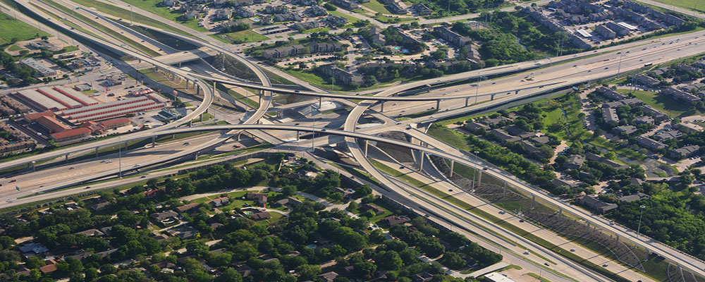
Ansimap serves three distinct needs of the Transportation industry: Infrastructure Management, Logistics and Fleet Management and Mass Transit Management. In addition, We also provides solutions into Fleet Management and Logistics, and Routing and Scheduling. Specifically, GIS can be used for route planning and analysis, bus dispatch and emergency response, automatic vehicle location and tracking, rail system facility management, accident reporting and analysis, demographic analysis and route restructuring, transportation planning and modeling.
By using our quality digital maps and intelligent models developed using Photogrammetry, LiDAR and Laser scanning methods, our clients in the transportation industry can provide travelers with safe, reliable and high-quality information. Digital content is created and updated through a variety of means for all transportation features along highways, railways, bridges, tunnels and public transit. Our solutions improve safety, increase efficiency and predictability of travel time and distance.
In any developing country, the road network is associated with various problems such as inadequate capacity, congested city roads, safety, lack of wayside amenities, poor riding quality etc. Moreover, large volumes of data are required which further needs to be managed.